Module 7: Channel Geometry - Topography
Background
Channel geometry refers to the three dimensional form of the channel, which we capture quantitatively with topographic surveys. The net change in topography from erosion and deposition through time are channel adjustments and we will explore how we measure and quantify those adjustments.
Learning Outcomes
-
Confidently read any riverscape and be able to map its core characteristics.
-
Differentiate influence of external controls (e.g., climate and catchment) vs. local controls on form and process.
-
Apply principles of geomorphic analysis to a diversity of riverscapes.
-
Recognize the primary controls on riverscape diversity, in which distinctive suites of physical and biotic processes (behavior) help shape the form and character of those landscapes.
-
Appreciate that topography is a quantitative record of landforms and apply morphometric analysis can be used to map and differentiate those landforms (i.e., geomorphic units).
Lectures (videos) & Slides
Part 1 - Intro + Bed & Bank Processes that Influence Channel Shape
Part 1 - Lecture Playlist
42 minutes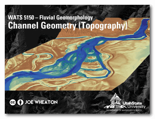
Part 2 - Channel Shape & Hydraulic Geometry
Part 2 - Lecture Playlist
37 minutes
Part 3 - Topographic Surveys, Geomorphic Change Detection and your Homework
Part 3 - Lecture Playlist
35 minutes
Other Resources
Corresponding Chapter in Course Text
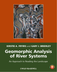 From:
Fryirs KA, Brierley GA. 2013. Geomorphic Analysis of River Systems: An Approach to Reading the Landscape, First Edition. Blackwell Publishing Ltd.: Chichester, U.K.
From:
Fryirs KA, Brierley GA. 2013. Geomorphic Analysis of River Systems: An Approach to Reading the Landscape, First Edition. Blackwell Publishing Ltd.: Chichester, U.K.
This module focus on: CHAPTER SEVEN: Channel geometry
Relevant or Cited Literature
Follow up selected readings suggested by Fryris and Brierley (2013) are provided for every chapter in page 328-3334 of the text book.