matBRAT
matBRAT - Beaver Restoration Assessment Tool (Matlab based - version 1 to 2.03)

9. Finalizing BRAT Outputs
Task 1: Prepare the shapefile to be joined with the FIS output table
- Step 1: “Add Data”: The input BRAT shapefile (watershed_name_Brat_input.shp) to ArcMap
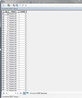
- Step 2: Open the attribute table of and delete all the fields except FID, and Shape.
Note: You must have at least one other field in this case I had a field called ENABLED. This shapefile is the “empty” shapefile used in the join. I named it Escalante_BRAT_Input.shp
Task 2: Join the BRAT output table with the (Watershed_name)_BRAT_Input.shp
- Step 1: In ArcMap open the “empty shapefile” (watershed_name_BRAT_Input.shp) that will be joined with the above table in the following steps:
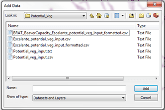
- Step 2: Use Add Data to load BRAT_Final_NHD_from_GIS.csv
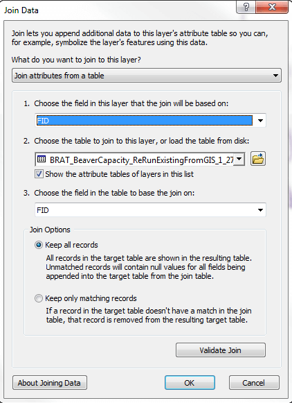
- Step 3: Use join the existing vegetation output table with the (watershed_name)_BRAT_Input.shp.
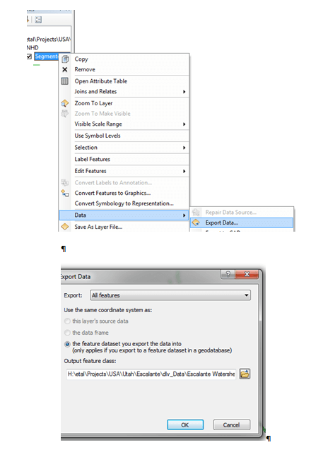
Step 4: To make the join permanent right click on the shapefile export and save as a new shapefile to the output directory. Name the shapefile BRAT_(watershed_name).shp.
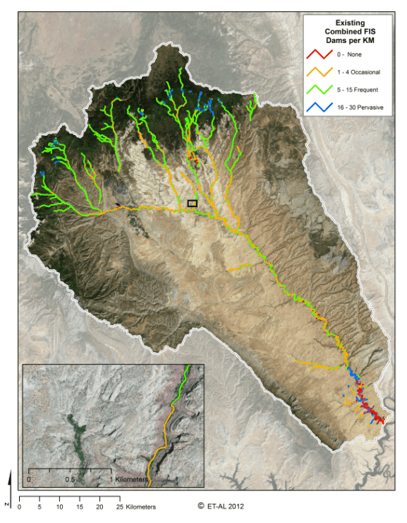
These resulting shapefiles are the final data and are featured on the Dam-building Beaver Capacity Maps. Below is an example:.